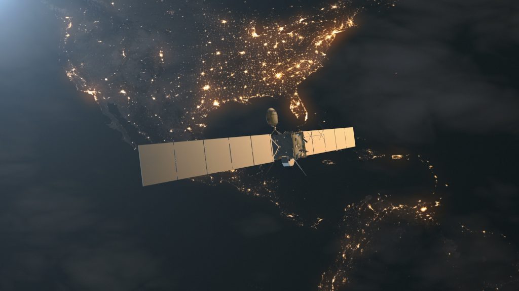
India and Mauritius to collaborate on Earth Observation satellite project
The project’s objectives are centered around developing a functional Earth Observation satellite that meets the specific needs of Mauritius, fostering international cooperation and knowledge exchange in the realm of space exploration.

The Indian Space Research Organisation (ISRO) has entered into a Memorandum of Understanding (MoU) with the Mauritius Research and Innovation Council (MRIC) to jointly work on the design, assembly, integration, testing, launch, and operation of an Earth Observation (EO) satellite for Mauritius.
The collaboration, outlined in the MoU for a 15-month period, specifies the roles and obligations of both ISRO and MRIC. During this time, in-orbit operations will be jointly conducted, making use of MRIC’s ground station.
A key aspect of the partnership involves the training of MRIC engineers at ISRO’s facilities in India. This training will focus on developing the satellite platform, associated systems, and the primary payload. MRIC engineers will actively participate in milestone reviews, as well as hands-on activities such as assembly, integration, and testing (AIT), enhancing their practical experience in satellite technology.
As part of the collaboration, ISRO and MRIC will work together to register the EO satellite as a recognised space object in the United Nations Office for Outer Space Affairs (UNOOSA) space object registry. Additionally, efforts will be made to ensure the registration of the satellite’s frequencies with the International Telecommunication Union.
In preparation for the project, MRIC conducted a comprehensive survey to assess the space data requirements within governmental research institutions in Mauritius. The survey results indicated that a multispectral imager is the optimal choice for the satellite’s primary payload. This specialised camera has the capability to capture various frequency bands of light. When deciphered using appropriate software, it can produce valuable data for monitoring both land and sea surfaces. The aim is to provide stakeholders with the necessary information to make informed decisions and enhance scientific research capabilities in Mauritius.
