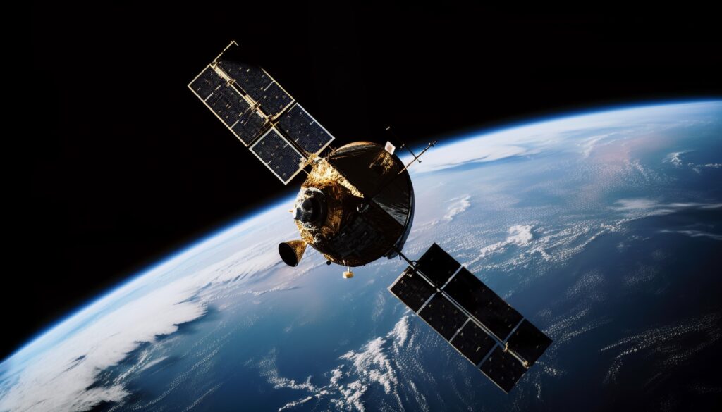
Satellite images and AI reveal hidden mining footprints worldwide
A new EU-funded project uses AI and satellite imagery to map mining activity and support environmental and social oversight.

Researchers are using satellite imagery and AI modelling to map global mining activity and close critical data gaps. Transition minerals, such as lithium and copper, are vital for renewable technologies but often come from ecologically sensitive regions, raising concerns about both environmental and social impacts.
Project lead Victor Maus from the Vienna University of Economics and Business said many new projects overlap with areas of high biodiversity or Indigenous lands. Over half of transition mineral resources are on or near Indigenous or subsistence farming territories, according to earlier studies.
Previous mapping efforts have struggled to document small-scale and informal mining, which remains unregulated despite its impact. Maus’s team compared satellite images of 120,000 square kilometres of mine footprints with the S&P Capital IQ Pro database and found over half missing.
To close these gaps, the team is creating a mining database under the EU-funded Mine the Gap initiative. By combining multispectral, radar, and hyperspectral imagery with AI, they aim to monitor land use, waste generation, and environmental degradation.
Experts say the database could support policymakers and increase transparency. Maus emphasised that global reporting standards are crucial for enhancing accountability and informing decisions on managing the environmental and social impacts of mining.
Would you like to learn more about AI, tech, and digital diplomacy? If so, ask our Diplo chatbot!
